
Develop An Urban Nature Network
10 STEP GUIDE
-
It’s crucial to have Geographical Information System (GIS) mapping specialists and ecologists involved in this project from the outset, as well as people and community engagement experts. You’ll need people who can identify opportunities for changing how land is managed. Consider specific types of expertise needed for your place, such as woodland, grassland and wetland for example.
-
To create nature network maps you need to bring together a number of different map layers.
You can start by using a general map of the geographical area, adding detailed layers using additional habitat classification data that is detailed enough to allow the identification of priority habitats (see step 3).
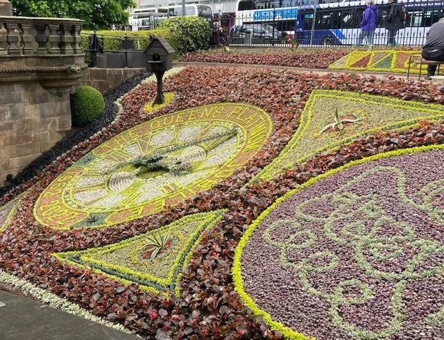
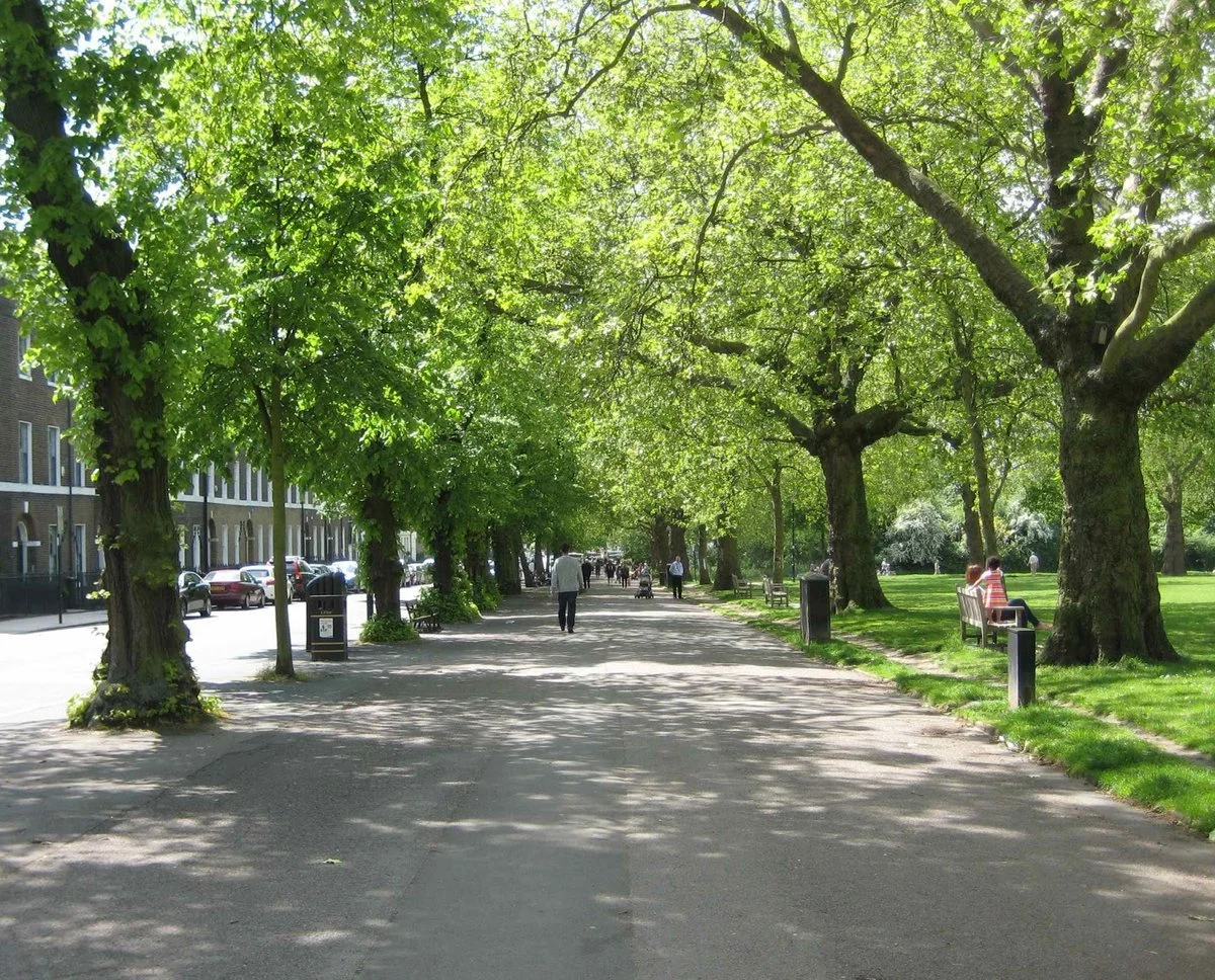
These datasets won’t necessarily include the kind of green space you are likely to find in urban areas. Therefore, an important extra step is to add an urban habitat layer with things like: private and public gardens, cemeteries and churchyards, parks, playing fields, green corridors and allotments. Some of this data is available on Ordnance Survey Open Greenspace.To carry out more detailed analysis at a garden scale, you might need to use licensed OS Mapping resources.
-
This should include priority habitats, which are considered to be at greatest risk of being lost or threatened and require conservation. These can be found on the UK BAP priority list (Biodiversity Action Plan) or the equivalent in your area.
-
This should include sites with statutory protections such as: Sites of Special Scientific Interest (SSSI), Special Protection Areas (SPA), Special Areas of Conservation (SAC), Marine Protected Areas (MPA) and Ramsar areas (wetlands of international importances). Additionally, identify any locally designated sites, such as nature reserves and local biodiversity sites.
-
Ecosystem services are the benefits to people from habitats and wildlife. There are seven key ecosystem services specific to biodiversity, they are: air purification, noise regulation, temperature regulation, water purification, flood regulation, health and wellbeing, and insect pollination.
-
Opportunity areas are places where there is a real likelihood of being able to make positive changes to habitat. Mapping this aspect requires the drawing together of other relevant information (such as local authority information about open spaces, future housing and derelict land), as well as the identification of land owners and managers who are keen to support the plan and allow their land to be used as part of an urban nature network. You should also consider where it is physically possible to make interventions.
For example, a block of flats may not present an obvious opportunity until you consider its surrounding gardens and roof.
-
Using GIS analysis, combine all the data you've collected in stages 2-6 as layers on a map of your urban nature network area. This will then help you and your team explore the connections between the data in the different layers and start to identify key opportunities for interventions or actions.
-
Organise engagement sessions (online or in person) with local partners (such as ecologists, local government and community representatives, landowners and other experts) to share the mapping work to date, test and enhance it, and gather suggestions on the most effective and feasible interventions or actions to create or enhance your urban nature network.
-
Once actions have been identified, they need to be prioritised so that resources (such as funding and staff) can be directed effectively. Variables to consider in the prioritisation process include cost, scale, time and anticipated benefits for people and wildlife.
-
Once actions have been prioritised, you'll need to create a delivery plan to guide the creation of your urban nature network.
There are many considerations involved in this, and you'll need to work with partners, including the local community, to get it right. The process requires detailed scoping and consultation; you'll need to think through the how, where, why, who, when and what for each action. For example, if you decided to plant more trees in a park, you would need to think about where in the park to plant them, whether you’d plant them individually or in groups, what species you’d plant, where you’d source them from, etc.